How to Turn Your Strava Runs Into a Poster
You've logged the miles — a marathon, a year of training, or every street of your city. Here are the three realistic ways to get those runs off your phone and onto a wall, with the honest trade-offs of each.
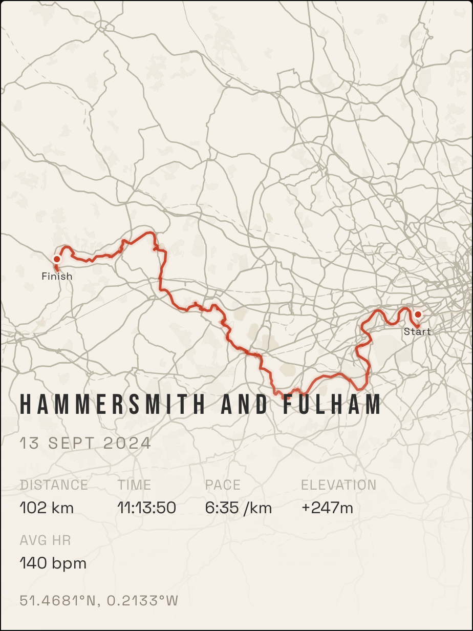
Option 1: A connected editor (fastest)
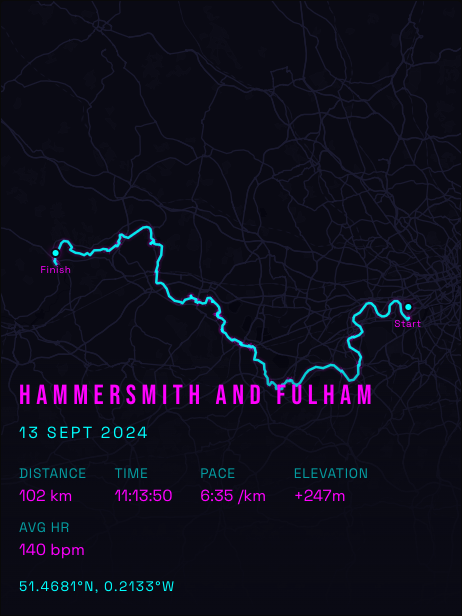
The least-friction path is a tool that connects to Strava directly, so you never touch a GPX file. RunInk is built for exactly this:
- Connect Strava. One click — your runs, rides and hikes load straight into the editor.
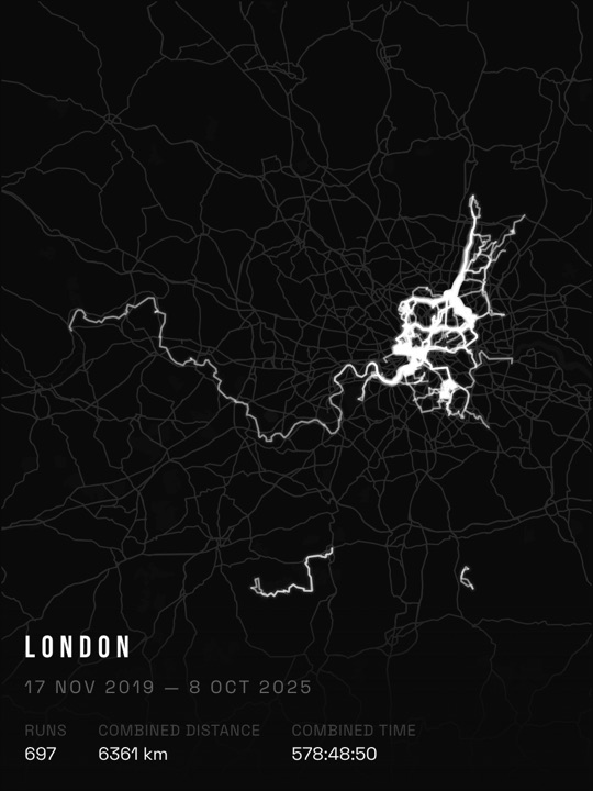
- Pick a run — or all of them. A single race makes a classic route poster. Composite mode layers every run in a city into one heat-map artwork (separate guide here).
- Style it. Choose a theme, poster size, title and stats. The preview is exactly what prints — what you see is what you get.
- Export free, or order a print. The high-resolution file is free (delivered by email). Matte prints start at $32 (£24.99 in the UK) with shipping included; the 50 × 70 cm also comes framed.
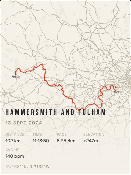
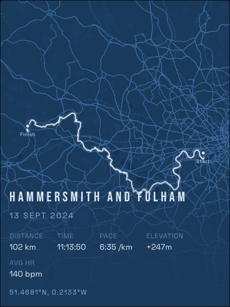
Print sizes and prices
| Size | Poster | Framed |
|---|---|---|
| 30 × 40 cm | $32 · UK £24.99 | — |
| 40 × 60 cm | $42 · UK £32.99 | — |
| 50 × 70 cm | $49 · UK £39.99 | $139 (US/CA $209) · UK £99.99 |
All prints are matte; shipping to the US, Canada, the UK (printed in the UK, priced in pounds), Australia and most of Europe is included in the price. Designing and the HD export are free — you only pay if you want the physical print.
Option 2: DIY from a Strava export
If you want full creative control and don't mind the work:
- Export your activities from Strava (Settings → My Account → Download or Delete Your Account → Download Request gets you everything as GPX; single activities export from the activity page).
- Plot the routes with a tool like QGIS, or a script (Python + matplotlib/folium is the usual route).
- Design the poster at print resolution — 300 DPI at your target size — in Figma, Canva or Affinity.
- Send the PDF/PNG to a local print shop.
Budget an evening for the first attempt. The common failure mode is resolution: a screenshot of a map will look crisp on screen and muddy at 50 × 70 cm.
Option 3: Single-race print services
If you want one specific race commemorated and prefer to hand the design off entirely, several services specialise in single-route artwork from a GPX upload — TrackToPrint, RoutePrinter and Cadence Prints are established options, and VeloViewer goes deep on data visualisations (including 3D). They're a good fit for a "frame my marathon" gift; they're not built for the every-run-you've-done composite.
Which should you pick?
- "I want my poster tonight, free, no file wrangling" → connected editor (RunInk).
- "I want every run I've ever done as one artwork" → composite/heat-map mode — see the city heatmap guide.
- "I enjoy the craft and want total control" → DIY.
- "One race, designed for me, price is secondary" → a single-race print service.
FAQ
Do I need to export GPX files?
Not with a connected editor — Strava authorisation loads your activities directly. GPX exports are only needed for the DIY route or upload-based services.
Is the free export print-quality?
RunInk's free export is a high-resolution file delivered by email — good enough to print yourself. The paid prints are rendered at 300 DPI and professionally printed on matte stock.
Does it work for rides and hikes too?
Yes — anything with a GPS track in Strava: runs, rides, hikes, walks.